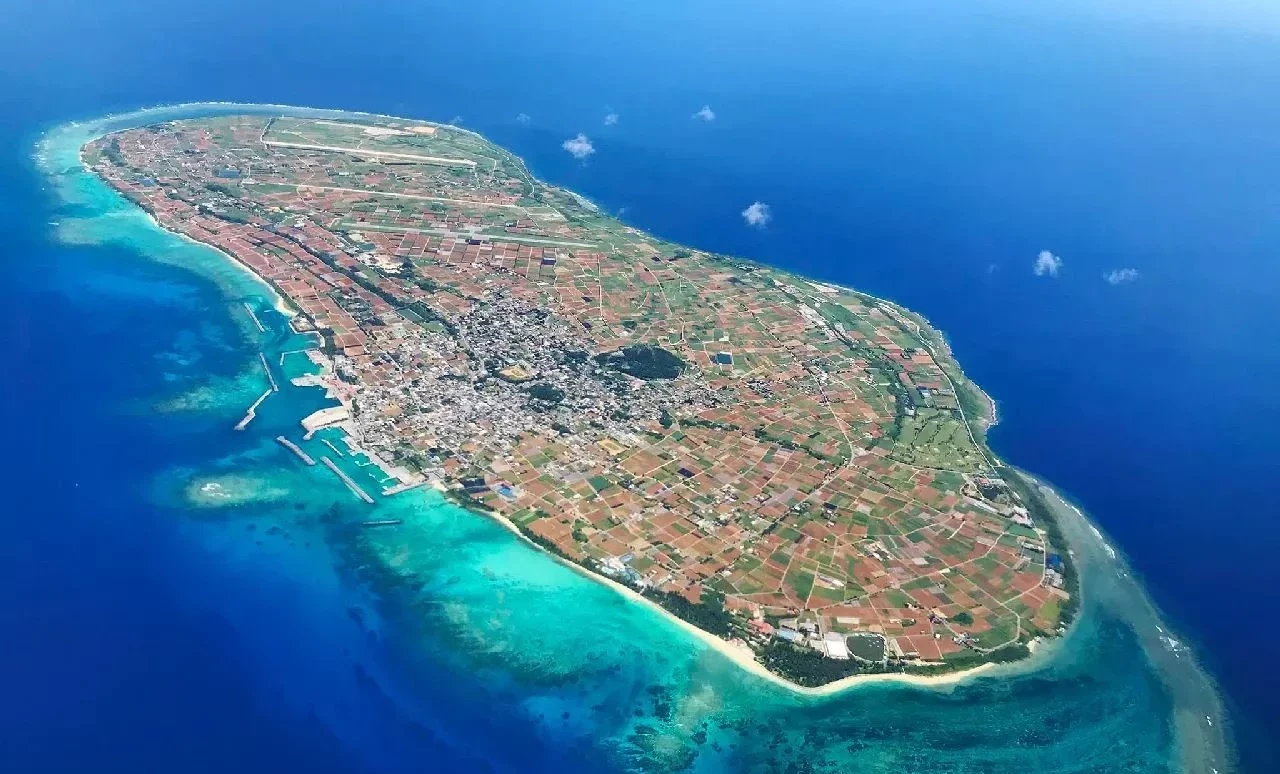
Name: Tsushima Island (つしまじま)
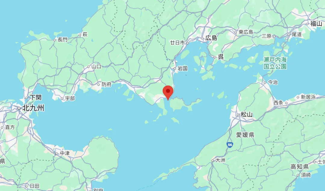
Location: Tsushima City, Nagasaki Prefecture
Area: 696.48 km² / Perimeter: 832.9 km / Elevation: 648.4 m
Population: 27,732
Tsushima Island, Japan's frontier island, is located 138 kilometers from Fukuoka City via Iki Island. Separated from Busan, South Korea, by the western channel of the Tsushima Strait, it stretches for approximately 49.5 kilometers. Excluding the four main islands and the northern regions, it is the fourth-largest island of Japan.
Tsushima means "harbor island." Since ancient times, it has served as an important gateway connecting continental cultures, having exceptional strategic importance for transportation.
★ Records of the Three Kingdoms: Wa People states: "Having crossed the sea more than a thousand li, one reaches the country of Tsushima. Its chief official is called Biko, his deputy Binomuri. They live on an isolated island…" This reflects Tsushima's historical role as a gateway of exchange between Japan and the mainland. However, Tsushima also repeatedly endured the ravages of war, including invasions by the Taihei people (1019), Mongol invasions (Bunei expedition: 1274, Koan expedition: 1281), and Oei foreign invasions (1419).
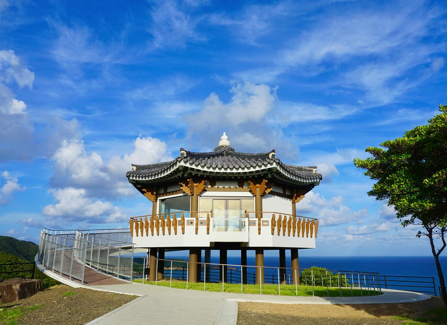
★ After the Muromachi period, the Sō clan became rulers of the island, initiating diplomatic and trade relations with Korea. Tsushima then served as a negotiation point for Korean envoys. During the Edo period, Tsushima maintained a monopoly on trade with Korea. Today, the "Tsushima Ariranga Festival", which recreates the splendor of Edo-period Korean palaces, is a major event promoting Japan-Korea friendship.
★Tsushima is also designated as part of the Japan Heritage Site "Boundary Islands: Iki, Tsushima, Goto". Additionally, historical records related to Korean envoys traveling from Tsushima to Edo are inscribed on UNESCO's Memory of the World Register.
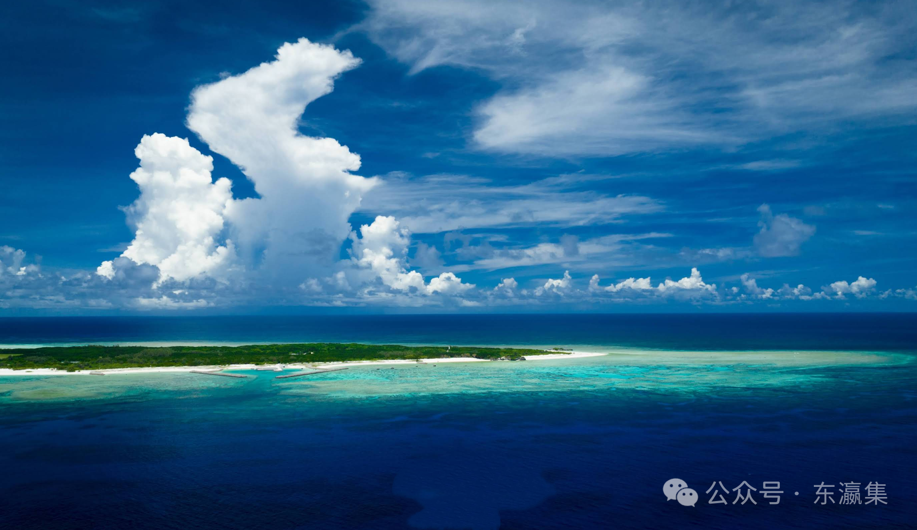
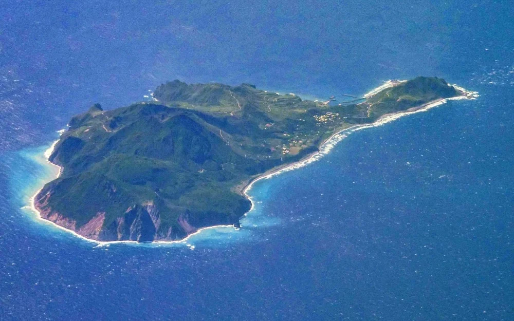
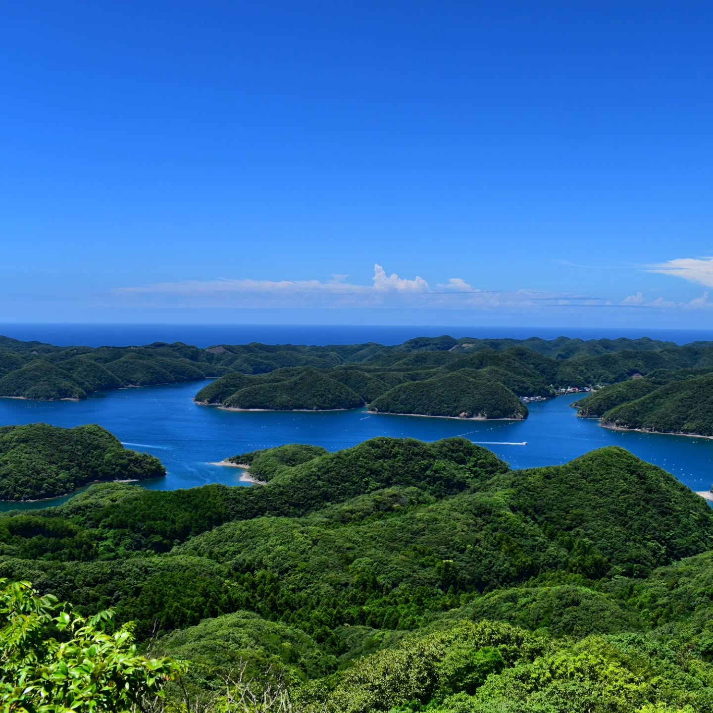
★ Asouwan Bay is one of the island's most iconic destinations. From the observation deck, the entire island is visible, covered with mountains ranging from 300 to 500 meters high, with rare flat lands and a coastline with complex rias-type topography.
Transportation:
🚢From Hakata Port
Jetfoil to Asihama Port on Iki Island, with 2 departures, will arrive at Izumi Port in 2 hours 15 minutes.
Ferry from Iki Island's Sonoura Port or Asihama Port to Izumihara Port: 4 hours 30 minutes, 2 departures.
Jetfoil to Hidakatsu Port: 2 hours 10 minutes, irregular schedule (shared-use service).
Ferry to Hidakatsu Port: 5 hours 50 minutes, 1 departure.
🚢From Busan Port, South Korea
High-speed boat to Hidakatsu Port: 1 hour 15 minutes; To Yanagihara Port: 2 hours 10 minutes, 1-2 departures.
High-speed ferry to Hitakatsu Port: 1 hour 10 minutes; To Iraqi port: 1 hour 55 minutes, 1 departure.
Hydrofoil to Hitakatsu Port: 1 hour 10 minutes, 1-3 departures.
✈️ From Fukuoka Airport to Tsushima Onagadake Airport: 30 minutes, 5 flights.
✈️ Nagasaki Airport to Tsushima Onagadake Airport: 35 minutes, 4 flights.